Red Cross FastBrowse
A web- and SMS-based system for tracking community vulnerabilities and capacities to support disaster response and resource allocation.

While working in Hanoi, I designed and developed a high-fidelity prototype for the Red Cross to track and visualize data from Vulnerabilities and Capacities Assessments (VCAs). When disasters occur, Red Cross administrators often need to sift through scattered or inaccessible VCA documents to inform their decisions. The organization needed a way to access and update this data using tools already available to volunteers in the field.
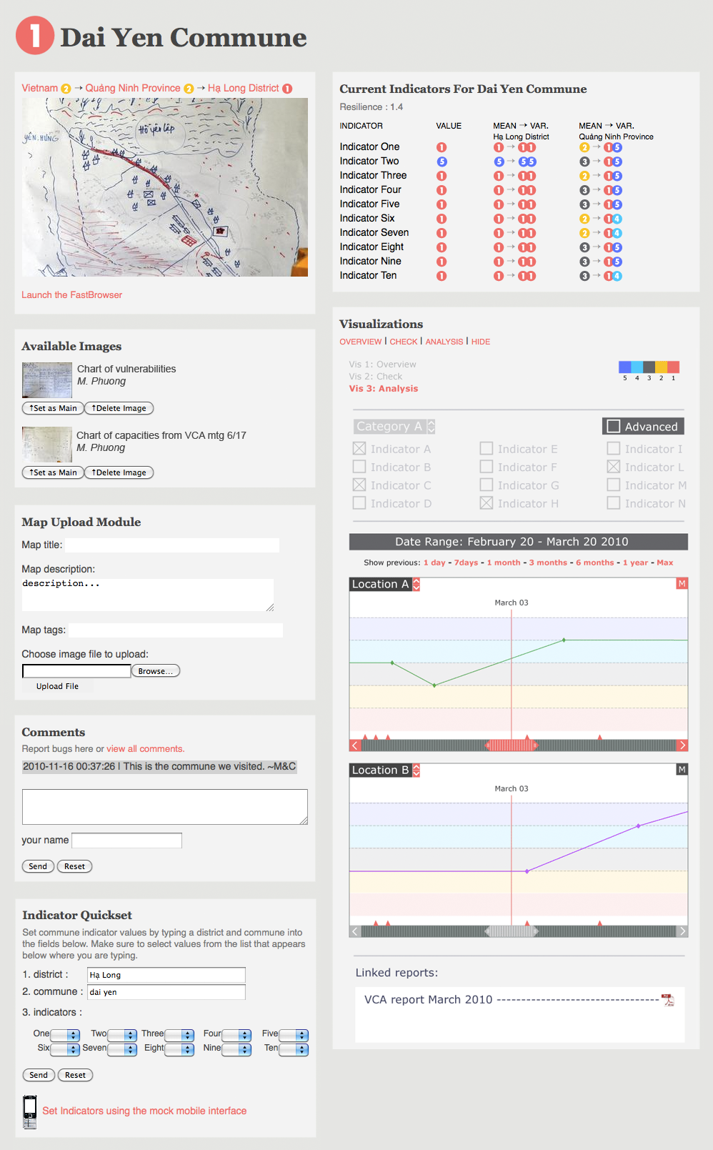
I deployed the system in Dai Yen Commune, near Ha Long Bay, Vietnam. It enabled volunteers to submit and update VCA indicator values via text message or through a web interface. To update a value, a volunteer would send a simple locale-indicator code by SMS. If the system didn’t recognize the code—either because the commune had not yet been registered or due to a misspelling—it automatically generated a new entry and returned the correct code via text. This ensured data was captured with minimal friction, even in cases of error, and without requiring multiple messages—saving time and mobile phone credit.
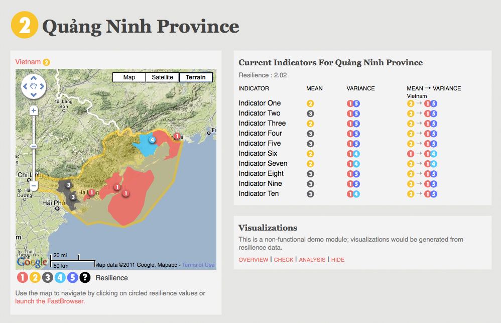
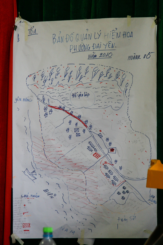
The web interface included four levels of navigation: country, province, district, and commune. At the commune level, users could view current indicator values and track changes over time. They could also share insights, experiences, and images such as hand-drawn charts and local maps. At higher levels, administrative boundaries were displayed on an interactive map and color-coded based on aggregated resilience scores. Users could assess risk and drill down to specific locales with ease using Google Maps integration.

